|
||
|
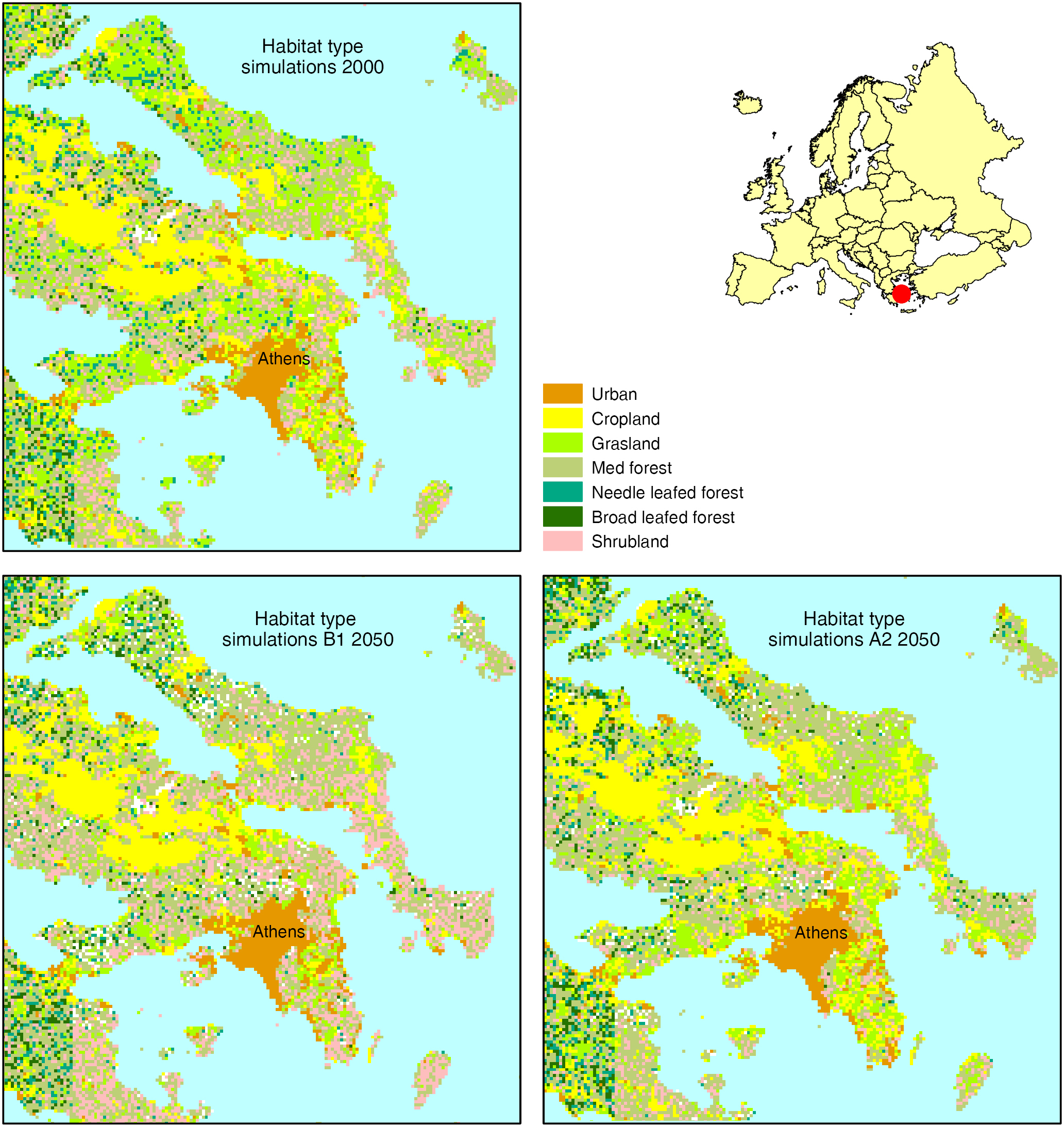
Simulated habitat types for the year 2000 (upper panel) and 2050 (lower two panels) for the area around Athens under the two SRES scenarios A2 and B1. Simulation based on Dyna-CLUE land use data and performed with LPJ-GUESS. Note that the figure displays general features of the current distribution of the habitat types now, and in the projection. The spatial location might not coincide with current distributions. |